| Difficulty: | Number: | Miles: | Altitude: | Obstacles: | Time: |
|---|---|---|---|---|---|
| Easy 4 | FR 752.3A | 1.64 | 9,880 to 11,825 ft. | Rocky | 2-3 hours |
Gunnison Ranger District
Gunnison, CO 81230
Closure:
July - Best
August - Best
September - Best
October - Good. May have early snows
Accessed:
From Buena Vista, CO. head west on W Main Street toward W Lake Street for 0.7 miles. Continue onto State Hwy 306 and go 18.5 miles. Continue onto County Road 209 and go 12.5 miles. Turn left onto County Road 742 and go 2.2 miles. Turn left onto County Road 55 and go 0.6 miles. Turn right onto FR 752 and go 2.7 miles. Continue onto FR 752 for 0.3 miles. Turn right onto FR 752 for 161 feet. Continue on FR 752 for 1.5 miles. FR 752 turns left through a gate and goes 1.0 mile. Continue right along Cross Creek on FR752.3A.
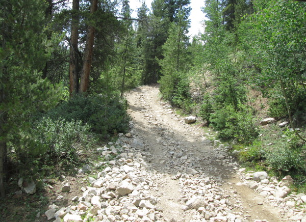 |
Start of road along creek photo by: Adam M |
|---|
The road will pass the remains of an old cabin on the right side of the road. Past the cabin the road will continue to follow the creek and become rocky and one lane wide. The road will head into the trees and continue its climb.
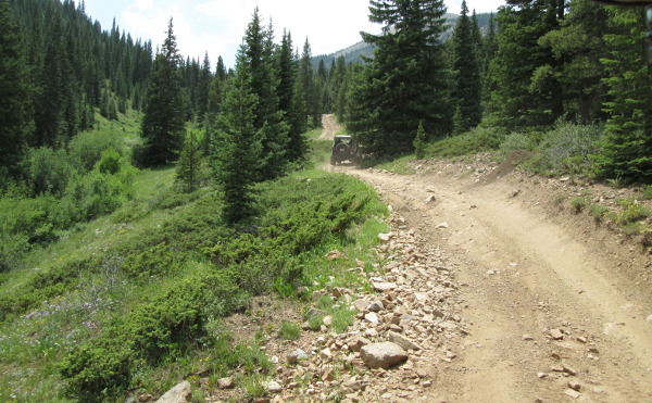 |
Road along creek photo by: Adam M |
|---|
The road will stay steep as it goes through the trees. Finally you will come out into a more open area. The road will get a bit steeper here and rockier. It will climb through a few short curves and then come to an intersection. The road on the left is not on the FS map, but goes past some mine tailings and dead ends in a cirque below Cross Mountain. Staying to the right the road will continue to climb and head for some trees. The road will come out of the trees again and pass by two old cabin frames by an old mine.
 |
Cabin at mine photo by: Adam M |
|---|
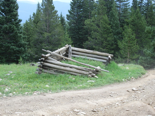 |
Cabin at mine photo by: Adam M |
|---|
At the cabins there is a spur road to the left that goes a short distance to some mine tailings. This is where the Forest Service map shows the road ending. If you stay right you will start the climb up to a saddle on Cross Mountain.
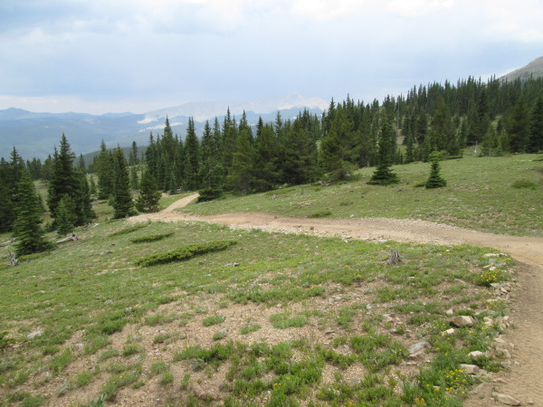
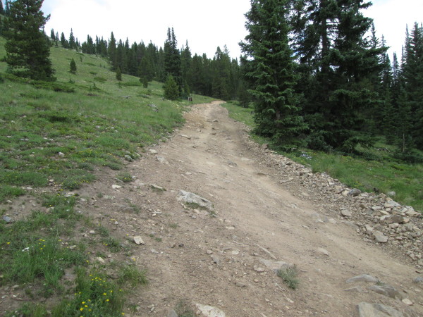 |
Road heading toward treeline photo by: Adam M |
|---|
The road will head north and flatten out a bit going through some open areas. You will head into some trees and then come out onto the saddle. Here there is a road to the right that heads to the top of the north end of the Cross Mountain ridge. The road to the left heads to the top of the center part of Cross Mountain.
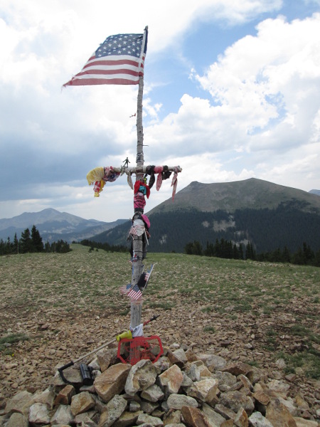 |
Cross on top of mountain photo by: Adam M |
|---|
From this end point to the south, across a saddle, is the high point of Cross Mountain proper. Views from the road end are of Union Park and the peaks in the Fossil Ridge Wilderness area.
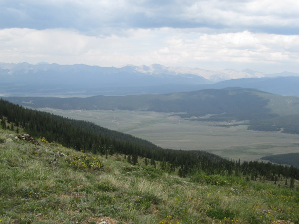 |
View of Union Park photo by: Adam M |
|---|
From here you head back the way you came.
 |
Heading down photo by: Adam M |
|---|