Lujan
 |
| Maps: |


|
| USGS 7.5' Map: |
North Pass, West Baldy |
| Statistics: |
| Difficulty: |
Number: |
Miles: |
Altitude: |
Obstacles: |
Time: |
| Easy 1 |
FR785 |
4.77 |
9,680 to 11,000 ft. |
NA |
1-2 hours |
|
| County: |
Gunnison |
| Adopted by: |
|
|
|
| Managed by: |
Gunnison NF, Gunnison Ranger District |
216 N. Colorado, Gunnison, CO 81230 |
(970)641-0471 |
| Summary: |
Lujan road follows Lujan Creek up to Peon Pass and the Continental Divide trail. |
| Attractions: |
Trailhead, Pass |
Seasonal
Closure: |
Agency - Closed March 1 to May 26 |
| Best Time: |
June - May run into snow drifts
July - Best
August - Best
September - Best
October - Early snows may close the road
|
| Trail Heads |
Continental Divide Trail - Hiking
Colorado Trail - Hiking
|
| Camping: |
There are dispersed camp sites near Peon Pass. |
| Base Camp: |
This would be a good area to base camp and explore the roads around the Cochetopa Dome. |
| Fall Colors: |
Poor - Most of the forest is pine along Lujan Creek. |
| Navigation: |
From Saguache, CO. head west on CO-114 W/Gunnison Ave toward 9th Street. Continue to follow CO-114 W for 31.6 miles. Turn right onto the Lujan road.
From Gunnison, CO. head east on US-50 E/E Tomichi Ave toward N Iowa Street. Continue to follow US-50 E for 8.1 miles. Turn right onto CO-114 E and go 30.0 miles. Turn left onto the Lujan road.
|
| History: |
|
| Description: |
Be aware that the Lujan road is part of the Continental Divide National Scenic Trail, so there will be hikers using the road. Watch for them at curves in the road, or other blind spots as you travel this road. After leaving Hwy 114 the Lujan road will be graded as it follows the creek. At about a half mile you will come to an intersection to the left which is the Slane Gulch, FR816, road. Continue on the graded road as it follows the creek.
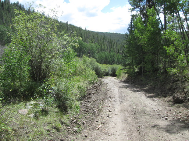 |
Lujan road
photo by:
Adam M |
After a mile and a half you will come to a more open area and the road will cross to the east side of Lujan Creek. From here the road will do a single switchback and top out at Peon Pass where it ends. Below the pass at the switchback is a spur road, FR785.1A, that heads north. This spur road is a less maintained two track that will continue along the creek to its head waters and then cross a saddle. It will end near 11,000 feet in the forest with no real views.
|
|
Data updated - November 20, 2019
4WD Road driven - September 1, 2019
Copyright 4X4Explore.com - 2000-2019 |

