No Name  |
| Maps: |


|
| USGS 7.5' Map: |
Leadville North |
| Statistics: |
| Difficulty: |
Number: |
Miles: |
Altitude: |
Obstacles: |
Time: |
| Easy 2 |
FR 189 |
2.05 |
9,950 to 10,950 ft. |
NA |
30-45 min |
|
| County: |
Lake |
| Adopted by: |
|
|
|
| Managed by: |
San Isabel National Forest,
Leadville Ranger District |
810 Front Street
Leadville, CO 80461 |
719-486-0749 |
| Summary: |
No Name 4WD road connects CR18 in Tennessee Park to the Mt Zion, FR109, 4WD road. |
| Attractions: |
Camp sites |
Seasonal
Closure: |
Agency - May 2 to June 29. |
| Best Time: |
July - Best
August - Best
September - Best
October - Early snows may block the road |
Trail Heads
Accessed: |
|
| Camping: |
There are dispersed campsites at the west end of the No Name road. |
| Base Camp: |
This would be a good area to base camp and explore the roads around Leadville. |
| Fall Colors: |
Average - There are some small aspen groves at the west end of the road. |
| Navigation: |
From Leadville, CO head north on Harrison Ave toward W 6th Street for 0.2 miles. Turn right onto E 9th Street and go 0.1 miles. Turn left and go 1.0 mile. Turn left onto US-24 West and go 3.1 miles. Turn right onto E Tennessee Road and go 0.6 miles. Turn right on to No Name road.
From Red Cliff head south on US-24 E and go 18.0 miles. Turn left onto E Tennessee Road and go 0.6 miles. Turn right on to No Name road.
|
| History: |
|
| Description: |
Starting from the west end off of CR18, E Tennessee Road, you will cross a short open area and enter a small group of pine trees. There are two dispersed camp sites in the trees here. The two track road will continue int aspen trees passing two more dispersed camp sites. All of these camp sites are in the first half mile. The road will continue up a small gulch through larger aspen trees.
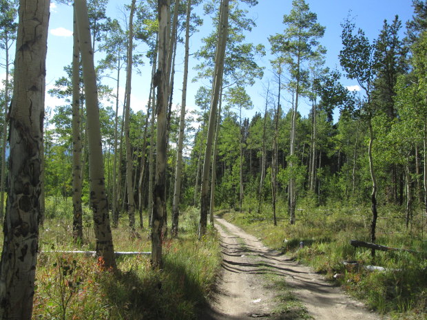 |
Western end of the road in aspen trees
photo by:
Adam M |
As you climb further up the gulch the aspen will give way to more pine trees. You will pass through some small meadows as you climb to the head of the small gulch. After passing through a larger meadow you will turn slightly north and leave the small gulch.
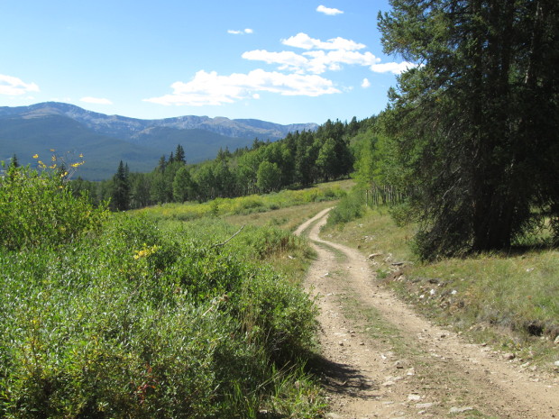 |
Looking back west from the east end of the road
photo by:
Adam M |
You will head through a small clearing and then connect with the Mt Zion, FR109, road. Turning right will take you down to Hwy 24 outside of Leadville. Turning left will take you up the Mt Zion road.
|
|
Data updated - December 26, 2020
4WD Road driven - September 5, 2020
Copyright 4X4Explore.com - 2000-2021 |

