

| Difficulty: | Number: | Miles: | Altitude: | Obstacles: | Time: |
|---|---|---|---|---|---|
| Easy 2 | FR 212 | 7.00 | 8,400 to 9,116 ft. | NA | 1/2 hour |
Yampa Ranger District
Yampa, Colorado 80483
Closure:
July - Best
August - Best
September - Best
October - Early snows possible
Accessed:
From Kremmling, CO. head west on US-40 W/Park Ave toward 5th Street. Continue to follow US-40 W for 6.2 miles. Turn left onto CO-134 W and go 13.4 miles. Turn left onto Forest Road 206 and go 300 feet. Turn left on to Forest Road 212.
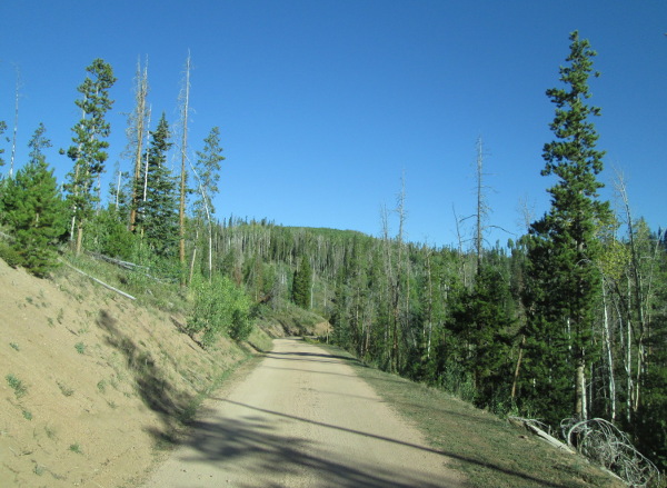 |
Road along north end photo by: Adam M |
|---|
 |
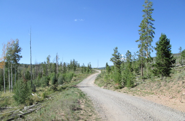
Road along north end (1999) photo by: Adam M |
|---|
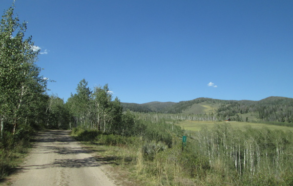
You will come out of the aspen into a more open area. Here the road will narrow and become a two track. There will be a large meadow to your west called Big Park, private property, as you head down a low ridge and come to a faint road on your right that goes to a fenceline at the edge of Big Park.
 |
Heading down to Blacktail Creek (1999) photo by: Adam M |
|---|
 |
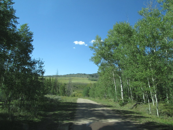
Looking north along Blacktail Creek photo by: Adam M |
|---|
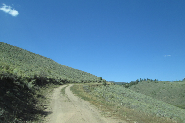
 |
View to the east (1999) photo by: Adam M |
|---|
Stay to the left and head down off the ridge, crossing Blacktail Creek. You will follow the creek and come back into a small grove of aspen. There will be a dispersed campsite on your right. Past the campsite the road will stay in the aspens. You will come to a road on your left that goes to a private home. The property on the east side of the road is private along this stretch. As you come out of the aspens you will pass another dispersed campsite on your right. The road will drop down and pass a spur road on the right that goes to a dispersed campsite, then cross the East Fork of Blacktail Creek twice before climbing up a shallow gulch to top out on a large flat open area.
 |
Looking north near Flying H Ranch photo by: Adam M |
|---|
 |
Looking north near the East Fork of Blacktail Creek photo by: Adam M |
|---|
The road will cross the open area and drop down into a shallow gully and then head into pine forests. The road will then climb another low ridge toping out above French Creek with a spur road on the left to a dispersed campsite. The road will turn south and run along the side of a small peak above French Creek.
 |
Looking north above French Creek photo by: Adam M |
|---|
After dropping down to cross French Creek, then climbing up the east side of the gulch, you will come to a large intersection. The road to the left that heads up hill is Hunter Road, FR214. The road to the right that heads down hill is County Road 11 which will drop down to Radium along the Colorado River. County Road 11 will cross the Denver and Rio Grande Western tracks and the Colorado river before connecting with Highway 1.