

| Difficulty: | Number: | Miles: | Altitude: | Obstacles: | Time: |
|---|---|---|---|---|---|
| Easy 4 | FR413.1B | 1.40 | 9,200 ft. | NA | 1 hour |
Hahns Peak / Bears Ears Ranger District
Steamboat Springs, CO 80487-9315
Closure:
July - Best
August - Best
September - Best
October - May be snowed in
Accessed:
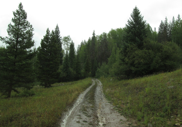 |
Heading across an open area photo by: Adam M |
|---|
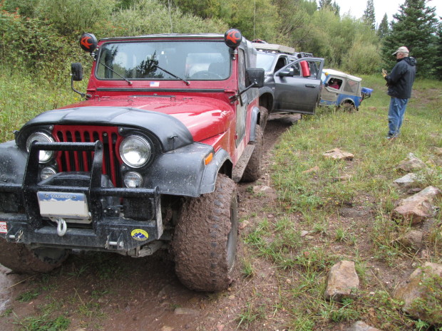
After heading into the trees again you will have to cross a few water holes, if it has been raining, that populate the dips in the landscape. After the water holes the road will narrow a bit and climb up onto more rocky terrain.
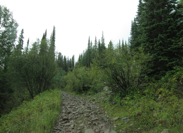 |
Rougher section photo by: Adam M |
|---|
You will be climbing up to higher elevation through the forest. There will be a muddy spot in the trees before entering an opening with a small rocky section to climb. The road will make a left turn and then shortly you will have to drive around a sweeping curve below a large tailing pile. In dry weather this would not present any kind of problem. If it has been raining, as it had when I drove the road, this curving climb will present a slippery muddy challenge. Luckily the slope of the road is toward the tailing pile, not away from it.
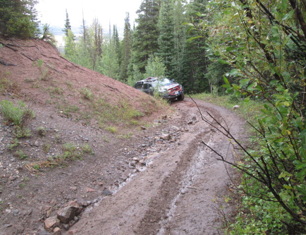 |
Climbing around the tailing pile photo by: Adam M |
|---|
 |
Climbing around the tailing pile photo by: Adam M |
|---|
Once past the tailing pile curve you will climb up across an open area before making a left turn onto a level section of road.
 |
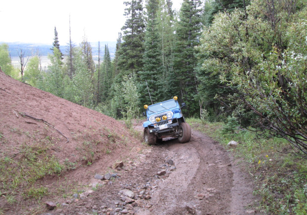
After muddy climb photo by: Adam M |
|---|
The road will go a short distance before coming to an intersection. Here you will turn right and head up hill. The left is a short dead end spur. Red Veiw gets a bit steep here as it climbs up to a sharp hairpin switchback. After the switchback you will climb a bit more through the forest before connecting with Twin Mountain, FR413, road again.