

| Difficulty: | Number: | Miles: | Altitude: | Obstacles: | Time: |
|---|---|---|---|---|---|
| Easy 2 | FR 173 | 6.99 | 10,600 ft. | NA | 0.5 to 1 hour |
Canyon Lakes Ranger District
Fort Collins, CO 80526
Closure:
July - Best
August - Best
September - Best
October - Possible snow drifts in trees
Accessed:
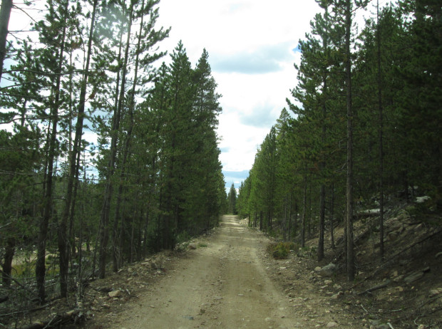 |
Southern end of road looking north photo by: Adam M |
|---|
Just over a quarter of a mile you will come to an intersection with a road to the right. This is FR173D which goes to the northeast for 1.39 miles. Stay to the left on Roaring Creek road. You will come to a campsite on the left at a sweeping curve. Just past this campsite is another spure road to the right that was used for thining the forest. This road is not on the MVUM. You will continue heading north, winding around low hills.
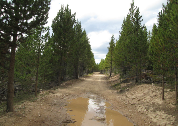 |
Middle section photo by: Adam M |
|---|
You will come to another campsite on the left and then a spur road to the right. This is FR173C which only goes 0.21 miles. Stay to the left and head around a tight curve. You will now head northwest throgh the forest. You will pass a spur road on the left that is FR173A, but it is closed and has not been driven. Stay to the right and the road will continue to head through the forest. You will come to another intersection with a road on the left. This is Nunn Creek Road, FR318, that heads to the west. Stay to the right.
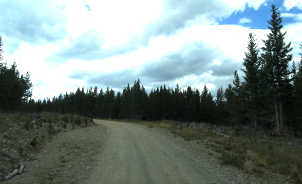 |
Northern end of road photo by: Adam M |
|---|
Shortly you will pass another campsite on the left. The road will then connect with the Deadman Road. Taking a right will take you to Red Feather Lakes, a left will take you west to the Laramie River.