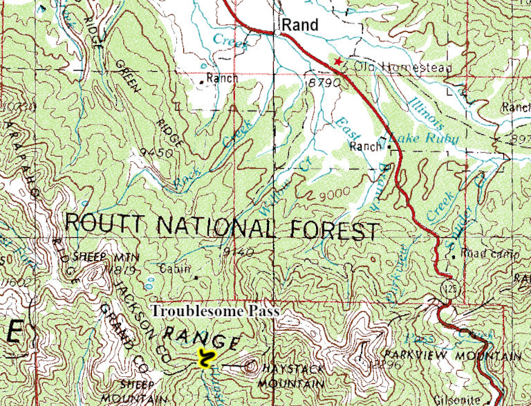
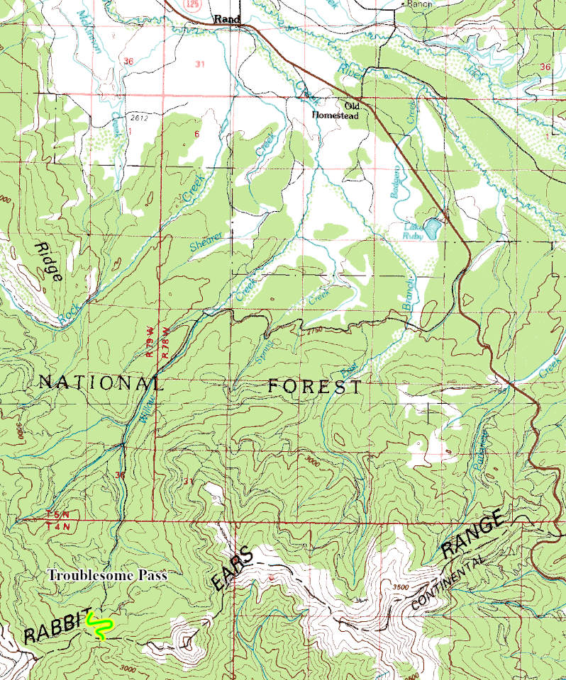
Troublesome Pass
 |
| Maps/GPS: |


|
| USGS 7.5' Map: |
Parkview Mountain |
| Statistics: |
| Difficulty: |
Number: |
Miles: |
Altitude: |
Obstacles: |
Time: |
| Easy 3 |
FR 730.1B |
0.70 |
10,027 ft. |
NA |
1 hour |
|
| County: |
Jackson, Grand |
| Adopted by: |
|
|
|
| Managed by: |
Routt National Forest,
Parks Ranger District |
100 N. Main (P.O. Box 158)
Walden, Colorado 80480 |
(970)723-2700 |
| Summary: |
Troublesome Pass is a short spur road off of Haystack Mountain that ends at the pass. The south side of Troublesome pass is a non-motorized trail. |
| Attractions: |
Pass, Trailhead |
Seasonal
Closure: |
Natural - Closed by heavy snows
|
| Best Time: |
June - Possible snow drifts
July - Possible snow drifts early in the month
August - Best
September - Best
October - Early snows possible |
Trail Heads
Accessed: |
Haystack Creek FT55.1 - Hiking, Mountain Bike, Equestrian
Continental Divide Trail - Hiking |
| Camping: |
There are no dispersed campsites along this spur road. |
| Base Camp: |
This would be a good area to base camp and explore the roads and motorcycle trails around Haystack Mountain. |
| Fall Colors: |
Poor - Mostly pine forest |
| Navigation: |
From Walden, CO. head south on Main Street toward Van Horn Ave for 0.2 miles. Turn right onto Colorado Hwy 125 South Main Street and continue to follow Colorado Hwy 125 South for 26.9 miles. Slight right onto Co Rd 50/Forest Service Rd 106 and go 10.0 miles. Sharp right onto FR730 and go 0.36 miles. Left turn on to FR730.1B, Troublesome Pass road.
From Granby, CO head west on US-40 W/E Agate Ave toward South 1st Street. Continue to follow US-40 West for 3.0 miles. Turn right onto CO-125 North and go 26.4 miles. Sharp left onto Forest Service Road 106 and go 10.0 miles. Sharp right onto FR730 and go 0.36 miles. Left turn on to FR730.1B, Troublesome Pass road.
|
| History: |
Troublesome Pass is named for the difficulty ranchers had in moving their animals over the old livestock trail that crossed the pass. An old wagon road once crossed the pass that was mapped out by the Hayden Survey party in 1873. The pass crosses the Continental Divide. |
| Description: |
From the Haystack Mountain, FR730, Troublesome Pass road heads up through a couple of switchbacks to a small parking area at Troublesome Pass. The road is a two track that is a bit maintained.
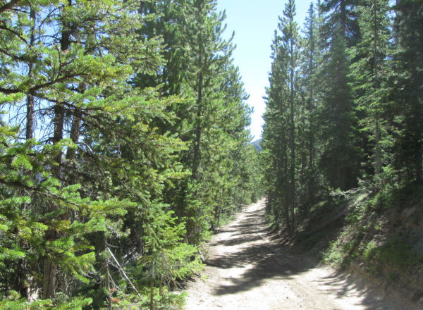 |
Start of Troublesome Pass road
photo by:
Adam M |
The road will climb through two switchbacks through the pine forest before coming to the small parking area.
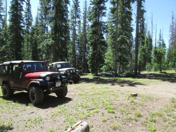 |
Parking area
photo by:
Adam M |
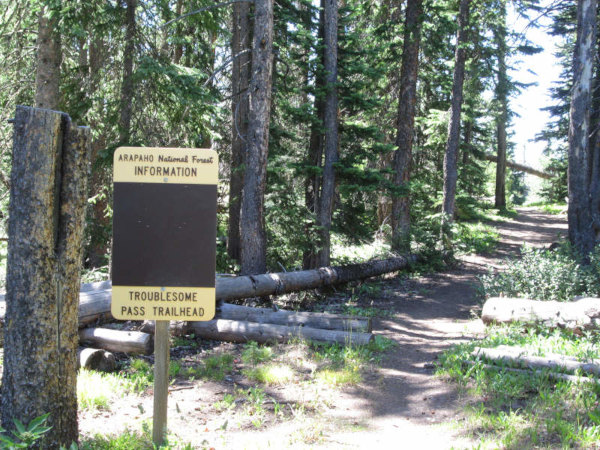 |
Trail sign for the south side of the pass
photo by:
Adam M |
From the parking area you will return the way you came to Haystack Mountain road.
|
|
Data updated: January 11, 2026
4WD Road driven: July 27, 2025
Copyright 4X4Explore.com - 2000-2026 |