Black Sage Pass  |
| Maps/GPS: |


|
| USGS 7.5' Map: |
Garfield, Sargents |
| Statistics: |
| Difficulty: |
Number: |
Miles: |
Altitude: |
Obstacles: |
Time: |
| Easy 1 |
FR 887 |
6.70 |
8,960 - 9,720 ft. |
NA |
1 hour |
|
| County: |
Gunnison |
| Adopted by: |
|
|
|
| Managed by: |
Grand Mesa/Uncompahgre/Gunnison National Forest
Gunnison Ranger District |
216 N. Colorado
Gunnison, CO 81230 |
970-641-0471 |
| Summary: |
Black Sage Pass is a low altitude pass between Whitepine, CO and Waunita Hot Springs, CO. The road is graded on the east side, becoming a two track on the west side as it crosses Wuanita Park.
|
| Attractions: |
Scenery
|
Seasonal
Closure: |
Natural - Black Sage Pass is closed by heavy snows
|
| Best Time: |
June - Best, possible snow drifts
July - Best
August - Best
September - Best, fall colors
October - Best |
Trail Heads
Accessed: |
Quakey Mountain Trail - FT537 at the end of FR887.4C.
|
| Camping: |
There is some dispersed camping at the pass and possibly along the spur roads FR887.4A,.4B,.4C,.4G.
|
| Base Camp: |
This would be a good area to base camp to explore the roads around Wuanita Pass and west of Wuanita Park.
|
| Fall Colors: |
Average - The lower parts of the pass will offer some views. The top of the pass is all pine forest.
|
| Navigation: |
From Sargents, CO head east on US Hwy 50 for 1.2 miles. Turn left onto Cnty Road 888 and go 6.1 miles to Cnty Road 888, there will be a sign indicating Black Sage Pass.
From Gunnison, CO head east on US Hwy 50 for 18.5 miles. Turn left on to Cnty Road 887. Go 8.8 miles, passing Wuanita Hot Springs Resort and turn right to continue on Cnty Road 887, the Black Sage Pass road.
|
| History: |
Black Sage Pass is named for nearby Black Sage Peak. The Hayden survey party used this pass to travel between Pitkin and Whitepine. In 1880 a route over the pass was developed for the rich silver mines in the Pitkin area. In 1882 the Denver and South Park Railroad reached Pitkin via the Alpine Tunnel near Hancock Pass and would have ended the use of Black Sage except that the resort at Waunita Hot Springs still needed regular stagecoach service for passengers and supplies. In the late 1890's there was still an operating stage station on top of the pass.
Koch, Don. The Colorado Pass Book, 3rd ed. Boulder, Colorado: Pruett, 2000. Print.
Helmuth, Ed and Gloria. The Passes of Colorado Boulder, Colorado: Pruett, 1994. Print.
|
| Description: |
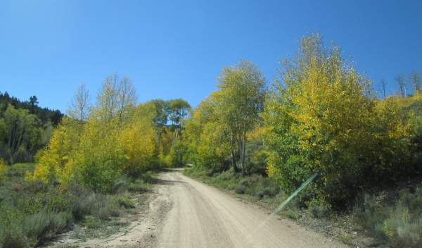
Black Sage Pass divides Spring Creek to the west and Mountain Spring Creek to the east. Black Sage Pass is a low altitude pass that connects County Road 888 with Wuanita Park. Starting from the east side where you leave County Road 888 you will head south across a long wide valley for a short distance before turning west and crossing Tomichi Creek. Past the creek the road follows County Road 887 / Forest Service Road 887 up the Mountain Spring Creek drainage through the forest.
|
Following the creek
photo by:
Adam M |
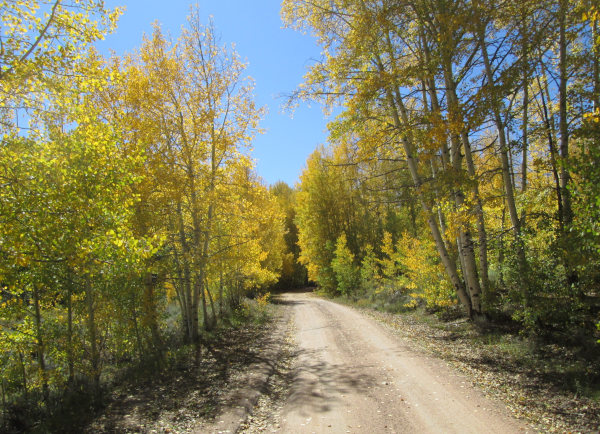
Shortly the road will curve around a switchback and begin to climb above the creek.
|
Climbing above the creek
photo by:
Adam M |
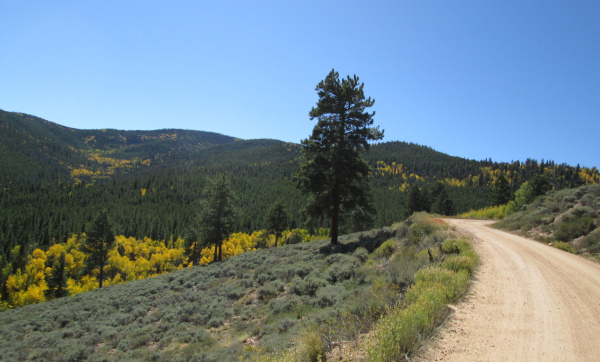
There are a few openings giving distant views of Quakey Mountain (10,454 ft.) as you climb the two switchbacks.
|
Gaining altitude
photo by:
Adam M |
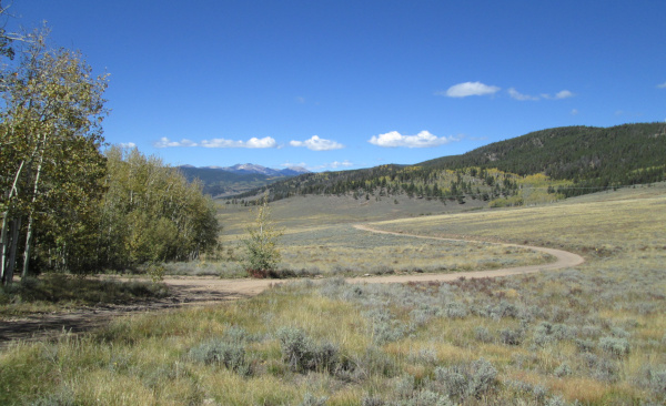
From the top of Black Sage Pass you will gradually descend the west side into the large open Wuanita Park.
|
Wuanita Park
photo by:
Adam M |
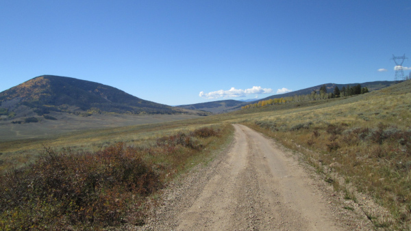
Wuanita Park is private property used for cattle grazing. The road heads toward a power line and then parrallels it down through the wide park to a T intersection. A left turn continues on County Road 887 past the Wuanita Hot Springs Resort and Tomichi Dome, then on out to US Hwy 50.
|
Tomichi Dome on the left
photo by:
Adam M |
|
|
Data updated: August 23, 2026
4WD Road driven: September 24, 2025
Copyright 4X4Explore.com - 2000-2026 |


