


| Difficulty: | Number: | Miles: | Altitude: | Obstacles: | Time: |
|---|---|---|---|---|---|
| Easy 4 | FR 235 | 1.90 | 10,920 ft. | Rocky | 1-2 hours |
Salida Ranger District
Salida, CO 81201
Closure:
July - Best
August - Best
September - Best for fall colors
October - May have early snow
Accessed:
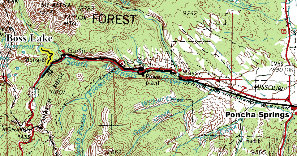
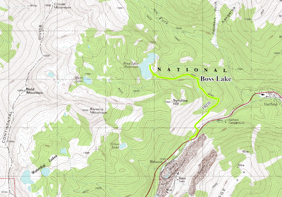
From Sargents, CO head north on Highway 50 for 14.2 miles. Turn left at a long pulloff and then look for the old railroad grade heading into the forest to the east.
The Denver and Rio Grande Railroad built what became known as the Monarch Branch to serve the area mines. The line was originally constructed from Poncha Junction toward Maysville in 1881 and was extended to Monarch in 1883 during the silver boom. The branch became one of the most unusual railroads in Colorado. It is approximately 15 miles long, climbed steep grades of up to 4.5%, included switchbacks and sharp curves to gain elevation near Monarch Pass. It was initially built as a 3-foot narrow-gauge railroad. The silver boom collapsed following the Panic of 1893, and many mines declined. However, the railroad survived because Colorado Fuel and Iron (CF&I) discovered that the area's limestone and dolomite were ideal flux stone for its steel mills and blast furnaces in Pueblo. Quarry operations at Monarch kept the railroad busy for decades. After the Marshall Pass narrow-gauge route was abandoned, the Monarch Branch was converted to standard gauge in 1956 to continue serving the quarry. Trains hauled limestone from Monarch to CF&I's steel operations in Pueblo. When CF&I shut down its Pueblo blast furnaces in 1982, the need for limestone shipments ended. Rail operations ceased, and the line was formally abandoned shortly afterward. The tracks were removed by the mid-1980s.
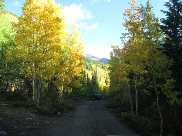 |
Start along old railroad grade photo by: Adam M |
|---|
Just past the second campsite you will come to an intersection. Take the left road which leaves the railroad grade and heads up into the forest on the side of Syncline Hill. The road will now be a one lane two track that has few spots to pass as it weaves through the trees.
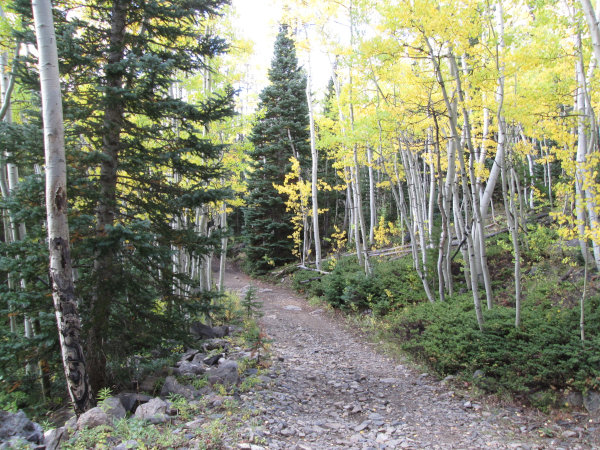 |
Morning aspens at the intersection photo by: Adam M |
|---|
The road will continue heading northeast climbing up in altitude passing through the aspens.
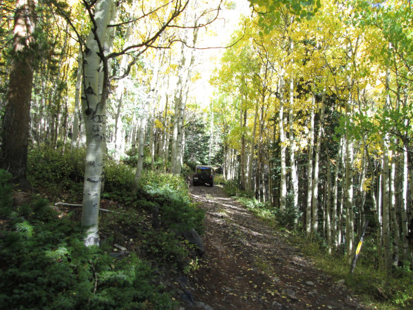 |
Heading into the forest photo by: Adam M |
|---|
As the forest changes over to pine you will come to a switchback which will bring you to a more level bench on the north side of Syncline Hill. In the pines here you will come to the other campsite. As you continue through the forest you will come to the one obstacle, a rocky section that is not too difficult.
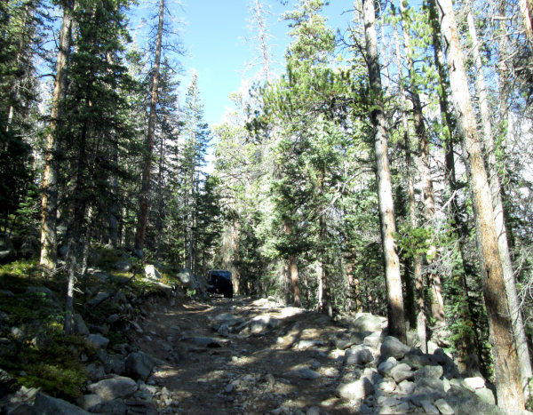 |
Climbing a rough section photo by: Adam M |
|---|
The road will start to climb and run along a steeper slope with no place to pass before topping out at a small saddle. Here the Continental Divide Trail crosses the 4WD road. Continuing over the saddle you will get your first view of Boss Lake Reservoir.
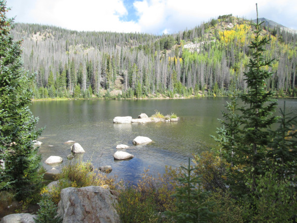 |
Boss Lake photo by: Adam M |
|---|
Continuing down a short hill you will come to the small parking area along the shore of Boss Lake.
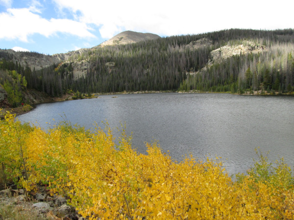 |
Boss Lake photo by: Adam M |
|---|
From the parking area there is a short hiking trail that loops around the shore of the lake to the dam and spillway of the reservoir. The spillway is cut into the rock next to the dam.
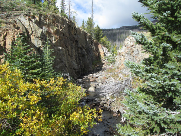 |
The spill way photo by: Adam M |
|---|
The reservoir is a destination for hikers as well as fishing enthusiasts.
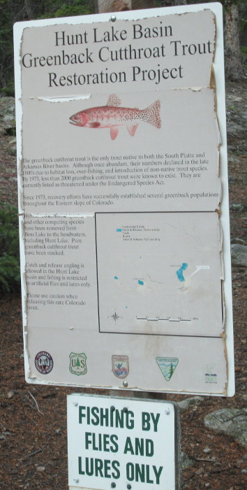 |
Fishing sign photo by: Adam M |
|---|
From the parking area you will head back the way you came to Highway 50.