| Difficulty: | Number: | Miles: | Altitude: | Obstacles: | Time: |
|---|---|---|---|---|---|
| Easy 3 | FR810 | 4.41 | 9,760 to 10,800 ft. | N/A | 1-2 hours |
South Platte Ranger District
Pike National Forest,
South Park Ranger District
Morrison, CO 80465
P.O. Box 219, 320 Hwy 285
Fairplay, Colorado 80440
(719) 836-2031
Closure:
July - Best
August - Best
September - Best
October - Possible first snows on road.
Accessed:
From Fairplay, CO head southeast on Main Street toward 6th Street for 0.5 miles. Turn left onto US Hwy 285 N and go 21.6 miles. Turn left off of US Hwy 285 onto the Guernsey road.
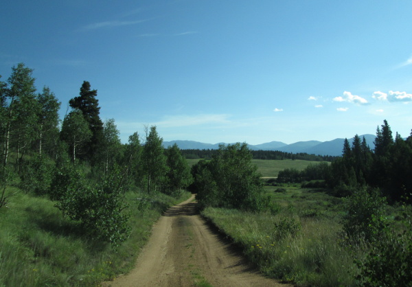 |
View back into the valley of Hoosier Creek photo by: Adam Mehlberg |
|---|
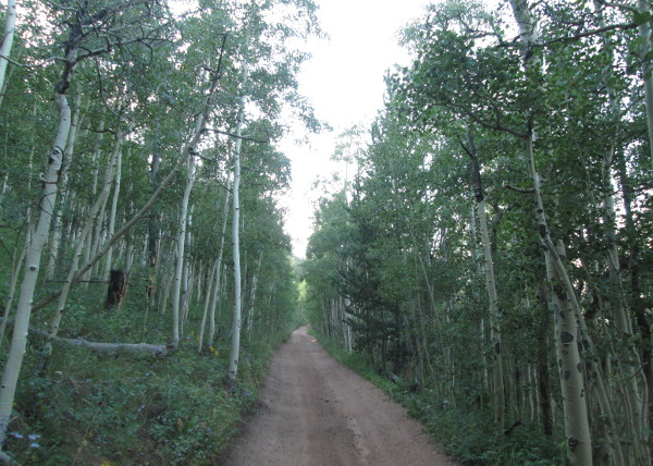
The road will continue up the narrow gulch in the aspens. Being on the South Platte Ranger District the only camp sites are marked dispersed sites. You will pass one on the left in the gulch.
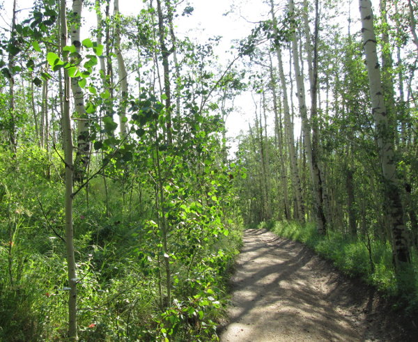 |
Section in small gulch photo by: Adam Mehlberg |
|---|
The road will come out into an open area as it climbs a small hill.
 |
Open area in side gulch of Hoosier Creek photo by: Adam Mehlberg |
|---|
You will head back into the trees again and pass another marked camp site. The road will head through the pines and cross a small opening with aspen passing another marked camp site. From here you will make the last climb up to the top of the ridge into a small wide area in the road with a camp site on the left. Continue down the other side of the ridge entering into the South Park Ranger District.
 |
Toward the top of the ridge photo by: Adam Mehlberg |
|---|
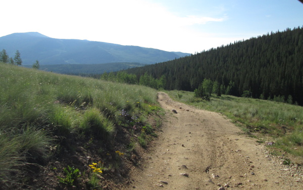
The road will stay a two track as it heads northwest along the side of the ridge. At the first curve in to cross a side gulch you will come to an intersection. The road coming in on the right is the T-Pit, FR811, road, stay left here. There will be a few openings in the trees where you will get views of South Park.
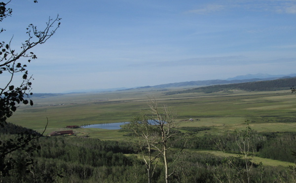 |
View of South Park photo by: Adam Mehlberg |
|---|
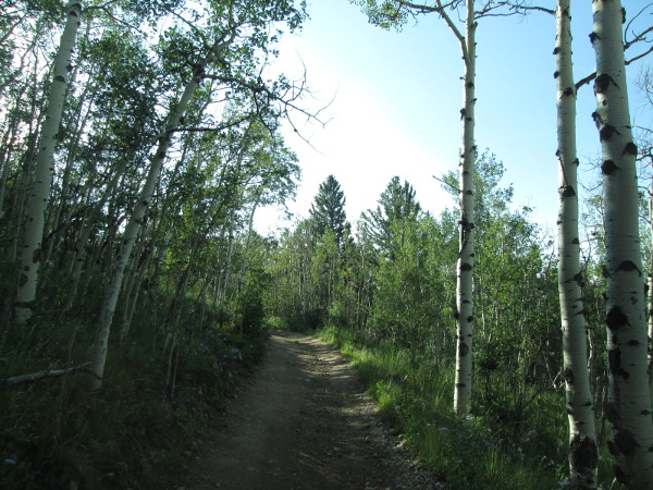
The road will travel through aspens as it moves in and out of the small side gulches, heading down toward the creek in Guernsey Gulch.
 |
Heading through the aspens photo by: Adam Mehlberg |
|---|
When you get down to the creek you will come to a large intersection. The road to the left and right is the Wahl, FR809, road. The right heads back over the ridge to Beaver Creek and connects with the T-Pit, FR811, road, the left heads toward Jefferson and connects with the Deadman, FR427, road. Staying straight you will continue to follow the Guernsey road. You will pass a camp site on the right, and then left, before crossing Guernsey Creek. From here the road will head up a side drainage of Guernsey Gulch for about a mile before ending at a small loop.