

| Difficulty: | Number: | Miles: | Altitude: | Obstacles: | Time: |
|---|---|---|---|---|---|
| 2 | FR376 | 13.09 | 8,340 to 9,760 ft. | NA | 1-2 hours |
Closure:
July - Best
August - Best
September - Best
October - Early snows possible
BLM T6038 - Hiking, Horseback, Mountain Bike, Motorcycle, ATV (<50 inch)
BLM T6037 - Hiking, Horseback, Mountain Bike, Motorcycle, ATV (<50 inch)
BLM T6029 - Hiking, Horseback, Mountain Bike, Motorcycle, ATV (<50 inch)
BLM T6039 - Hiking, Horseback, Mountain Bike, Motorcycle, ATV (<50 inch)
FT 1415 - Hiking, Horseback, Mountain Bike, Motorcycle, ATV (<50 inch)
From Antero Junction head west on US-24 W/US Hwy 285 S toward US Hwy 285 N for 1.0 mile. Turn right onto Road 311 and go 246 feet. Continue onto County Road 311 and go 2.7 miles. Sharp left onto County Road 309 and go 2.7 miles. Turn right onto Lenhardy Cutoff FR376
 |
Sandy wash photo by: Adam M |
|---|
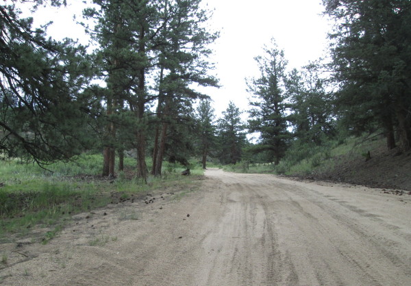
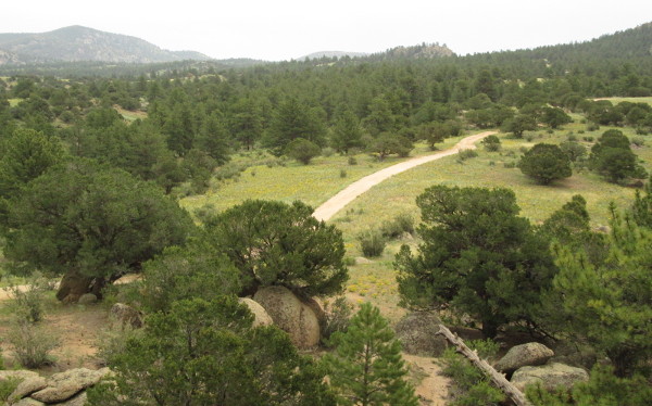
Continue on the main road. At a hairpin turn on top of a low hill you will pass the start of FT1415 trail on your left. From here the road will do a few curves as hit heads downhill, finally dropping into and crossing Fourmile Creek. Just south of here was the Spanish Mill railroad tie cutting camp. Climbing up out of the creek basin you will come to the intersection with BLM T6029 trail on the right. The road will be wide and sandy along this strech. Shortly you will pass BLM T6039 trail on your right, then the road will head into some trees and pass a private drive on the left. The road will head up a small drainage coming to an intersection on the right with the other end of BLM T6029. This is also where you will intersect with Sevenmile, FR311, road on your left just past the cattle guard. Continue to the right and within a tenth of a mile you will be leaving BLM managed land and entering Forest Service managed land.
 |
Road through the trees photo by: Adam M |
|---|
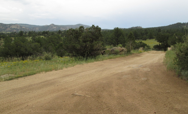
You will now cross a more open area. There will be a spur road on the right, FR376D, that goes a short distance to a dispersed campsite. Next you will head down toward Sevenmile Creek where the road will have vegetation to squeeze your vehicle through. The road will narrow up to cross the creek passing along side a small pond on the left.
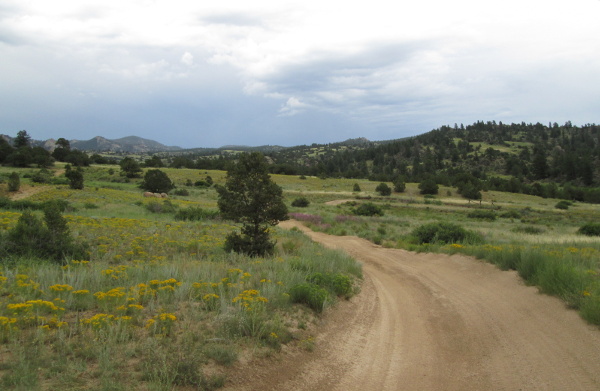 |
Open area photo by: Adam M |
|---|
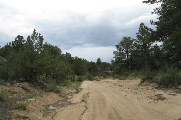
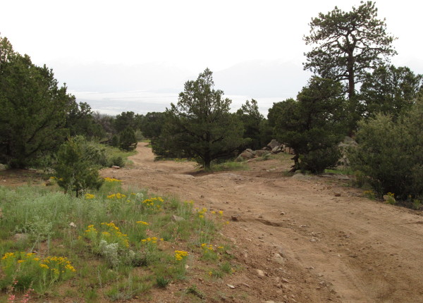
The road will climb out of the Sevenmile Creek drainage and follow a side drainage up toward Piles Pasture. Here you will be driving up a wide sandy wash.
 |
Another wash bottom photo by: Adam M |
|---|
As you drive the wash you will pass out of Forest Service managed lands and enter BLM managed lands for a short distance. The road will turn to the north and climb a small hill entering back onto Forest Service managed land. Past this hill the area will open up again and there will be a small loop pulloff on the right with a large rock outcrop behind it. Nice spot to climb up on the rocks and get a view.
 |
View from a rock outcrop photo by: Adam M |
|---|
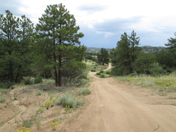
The road will be a bit narrower as it crosses this open area. You will enter into a more forested area as you continue to climb a broad low hill.
 |
Hills photo by: Adam M |
|---|
As the trees thin out again you will pass a spur road on the right that goes to a dispersed campsite. Continuing on you will pass two more spur roads on the right, the first one is FR376E, that go to dispersed campsites. Further along in the trees will be a third spur to the right to a dispersed campsite followed by a spur to the left to a large dispersed campsite. On the right side will be FR376A (see description below). Then on the left will be a large parking area, followed by an intersection with Shields Gulch, FR315, on the right. There is a lot in this small area.
The road will head back into a more forested area. There will be a spur on the left, FR376G, to a dispersed campsite, followed by another left spur to a dispersed campsite. As the road drops downhill you will come to an intersection on an S turn to the left. This is FR376B which goes 2.60 miles following a ridge above the South Fork of Sevenmile Creek. There is a dispersed campsite midway, and two more at the end of the road overlooking Sevenmile Creek. Past this intersection at the bottom of the hill you will come to the intersection on the right with McGee Gulch, FR305. Beyond this intersection is FR376H to the right that goes to a dispersed campsite, followed by another right, FR376I, that also goes to a dispersed campsite.
You will be climbing through a more open area as the road heads to a saddle on Limestone Ridge. You will pass two more dispersed campsites on the right before cresting the saddle. After crossing the saddle the road will become a two track. As you head down the small drainage you will cross from Forest Service managed lands into the Chubb Park State Trust lands. The road will become rocky for a short section, then turn back to two track. You will come out into a more open area with Chubb Park out in front of you. After passing through a fenceline you will leave Chubb Park State Trust lands and be on private property. From here it is a short distance across Chubb Park to the intersection with Chubb Park, FR309.
Route description of FR376A
Starting from the north end of FR376A, off of FR376, you will head south passing a dispersed campsite on the left, followed by a second dispersed campsite, FR376AA, on the left before heading around a rock outcrop and down across an open meadow. As the road heads between two rocky hills there will be a spur road to the right, FR376AB, to a dispersed campsite. Past the rocky hills you will pass a spur road to the left, FR376AC, which only goes a short distance. The road will turn southwest and run along the top of a low hill. You will pass two dispersed campsites on the left. Along this section the road will get narrower as it travels through the trees.
 |
Lower section photo by: Adam M |
|---|
The road will continue along the hill passing a cattle guard and another dispersed campsite on the left. Just past this campsite the road will make a curve to the west and cross over some rocky sections. At the curve BLM T1540A will head south.
 |
Open area photo by: Adam M |
|---|
After crossing a small drainage and climbing up the other side the road will take you into a more open area. Just before dropping down into another wide side drainage you will leave Forest Service Managed lands and enter BLM managed lands. After a short distance you will cross Big Sandy Draw and then run along a fence line. Next you will pass a spur to a dispersed campsite on the left and then come to an intersection with a better maintained road. To your right is a gate to private property, stay left to stay on FR376A/BLM376A. The road will be improved as you pass a short spur on the left followed by another on the right. Next you will pass a spur road on the right that goes to a large dispersed campsite, followed by a second spur to the right to another dispersed campsite.
As you come into thicker trees you will come to a sharp right turn. This is where the road connects with the old Midland Railroad Grade, which is also the Midland Mountain Bike Trail. Watch for traffic and bikes here. Just over a tenth of a mile you will come to a parking area. This is where you intersect with Chaffee County road 304, which goes to the right and follows the old railroad grade to end at Hop Gulch, which use to have a railroad trestle spanning it. To the left CR304 will take you to Hwy24.