

| Difficulty: | Number: | Miles: | Altitude: | Obstacles: | Time: |
|---|---|---|---|---|---|
| Easy 2 | FR857 | 7.5 | 8,760 to 10,520 ft. | NA | 2-3 hours |
Saguache Ranger District
Saguache, CO 81149
Closure:
July - Best
August - Best
September - Best, fall colors
October - Early snows will close the upper part of the road
Accessed:
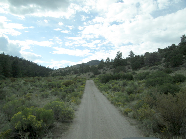 |
Columbia Gulch near Little Kerber Creek photo by: Adam M |
|---|
As you continue up Columbia Gulch the road will become narrower and the canyon gets a bit tighter. You will cross a side drainage where there are two campsites, and then continue up canyon. Near the head of the gulch you will cross the small creek and climb up into the hills to the south crossing over to Little Kerber Creek.
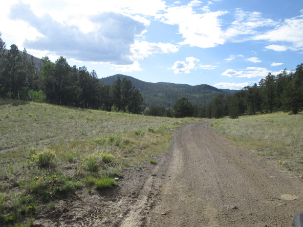 |
Little Kerber Creek section photo by: Adam M |
|---|
 |
Further along Little Kerber Creek photo by: Adam M |
|---|
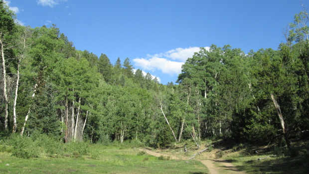
The road stays a wide two track as you head up Little Kerber Creek. This gulch is a bit wider with more small meadows. You will come to a side canyon where the road makes a tight curve. At this curve, though hardly detectable, there is a spur road, FR857.2A, that heads up Lucky Boy Gulch. If you head off this curve to the large camp site, you will see that there is a faint road here.
In 2019 there was an aspen tree across the spur road FR857.2A. Beyond the fallen tree, other trees had fallen across the road and had been cut out about the width of and ATV.
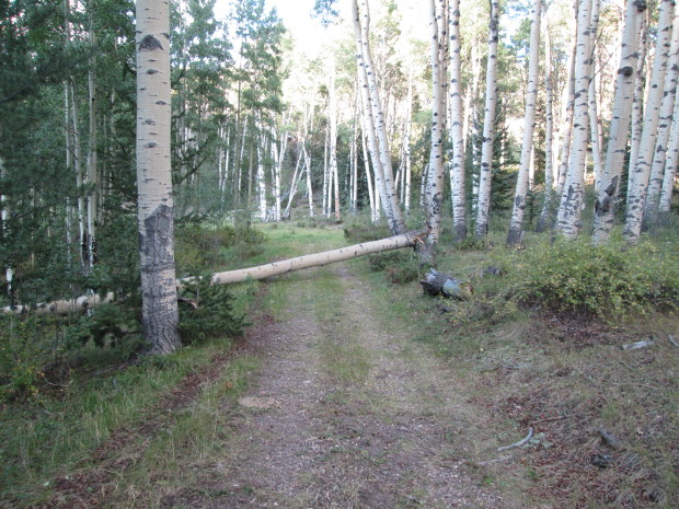 |
FR857.2A at start of Lucky Boy Gulch photo by: Adam M |
|---|
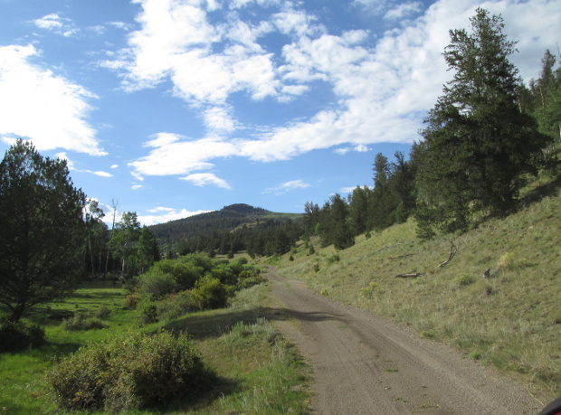
Continuing up Little Kerber Creek, the gulch will get a bit narrower. The road will also get a bit tigher and somewhat rocky. You will cross the creek and then head up a side gulch.
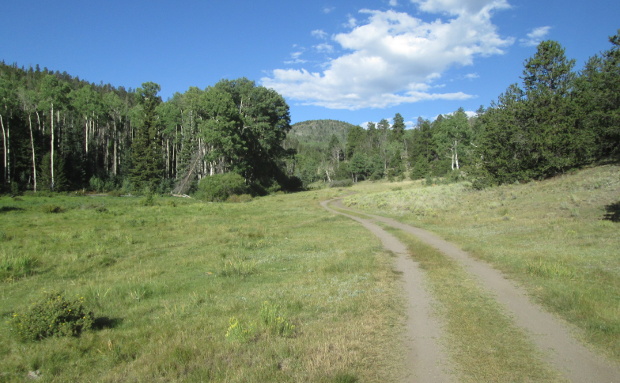 |
Meadow before leaving Little Kerber Creek photo by: Adam M |
|---|
After climbing up the gulch you will come to a more open area with an intersection. Stay to the left to continue on FR857. The right turn is FR866, which heads back toward Bonanza, but may not connect.
 |
Just before intersection with FR886 photo by: Adam M |
|---|
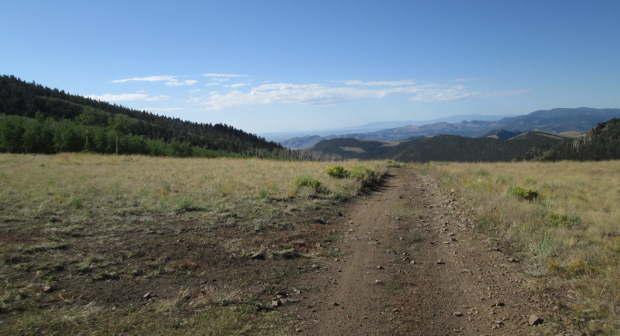
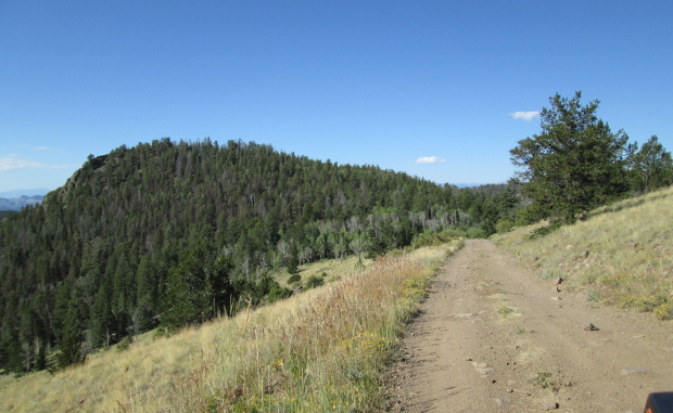
After turning left you will run along a ridge top. There are a few gates that will have to be opened, and then closed as you continue. Always leave gates the same as you find them. The road will drop down and follow along a hill side with no real veiws as there are lots of trees. The next intersection is with FR857.2B, which deda ends. Stay to the left. The road will climb up as it heads toward Bonita Hill. You will then come out of the trees onto a broad saddle.
 |
Saddle to the east of Bonita Hill photo by: Adam M |
|---|
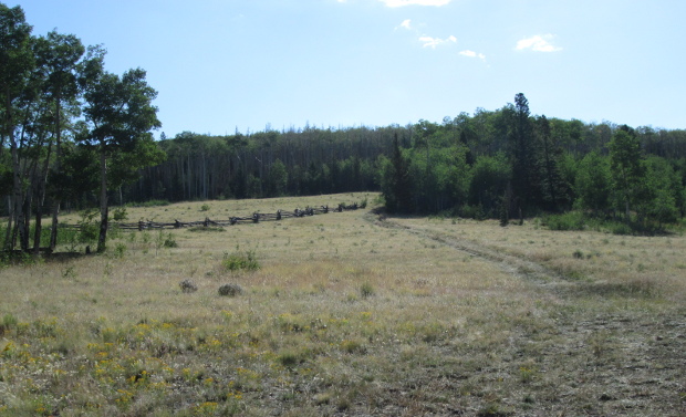 |
Saddle to the east of Bonita Hill, log fence photo by: Adam M |
|---|
From the saddle the road will loop around Bonita Hill and then come into another open meadow.
 |
Coming around the south side of Bonita Hill photo by: Adam M |
|---|
At the lower end of this meadow you will connect with Findley Gulch, FR880. A left here will take you to Hwy 114 west of Saguache, CO.