| Difficulty: | Number: | Miles: | Altitude: | Obstacles: | Time: |
|---|---|---|---|---|---|
| Easy 3 | FR 943 | 1.45 | 8,640 ft. | NA | 1/2 hour |
Yampa Ranger District
Yampa, Colorado 80483
Closure:
July - Best
August - Best
September - Best
October - Early snows possible
Accessed:
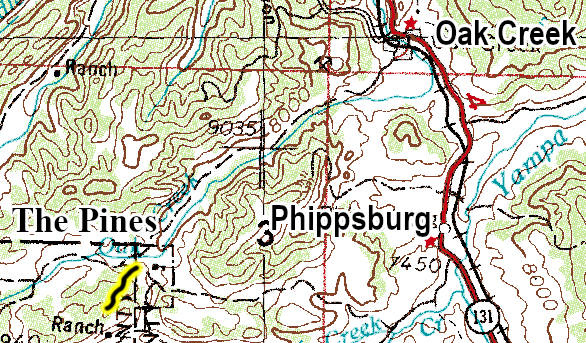
From Yampa Colorado head north on Colorado State Highway 131 for 5.4 miles. Turn left onto Rcr15 and go 174 feet. Rcr15 turns slightly right and becomes County Road 15, go 0.6 miles. County Road 15 turns left and becomes Rcr15, go 0.3 miles. Turn right onto Rcr19 and go 0.8 miles. Slight right to stay on Rcr 19 and go 0.5 miles. Continue onto County Road 19 and go 4.0 miles. Turn right onto Rcr 25 and go 0.4 miles. Turn left onto The Pines road.
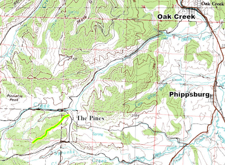
After leaving Forest Road 925 The Pines road will head uphill as a two track road. At the start are a few erosion dips to climb and then the road heads through the somewhat open forest as it climbs the low hill of this part of the forest. You will come to a more open meadow on the left and then the road will head back into the aspen trees. There will be a few dips and rougher section here as you head through the aspens. Shortly the road will head over a small hill and you will come into another more open area. The road will cross through more aspens and open areas before coming to a very short spur road on the left. Continue right and you will once again be in the aspens. You will come to another spur road on the left that climbs up hill a short distance and also ends in the forest. Stay right and you will come to a open area where the road ends and there is a turn around.