| Difficulty: | Number: | Miles: | Altitude: | Obstacles: | Time: |
|---|---|---|---|---|---|
| Moderate 5 | FR 291 | 2.50 | 10,460 ft. | Rocky, Steep Hill | 1-2 hours |
Hahns Peak / Bears Ears Ranger District
Steamboat Springs, CO 80487-9315
Closure:
July - Best
August - Start of fall colors, best
September - Best fall colors
October - Possible snow
Accessed:
From Kremmling, CO head toward 5th Street and continue to follow US-40 West for 31.5 miles. Turn right onto Buffalo Park Trail/Forest Service 315.1 and go 0.2 miles. Turn right onto Forest Service 315.1 and go 1.3 miles. Turn left onto Forest Service 311.1 and go 0.3 miles. Turn right onto Rabbit Ears Peak Road.
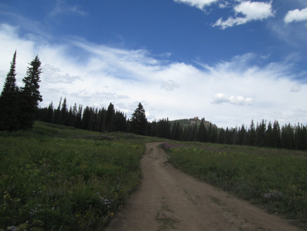 |
Start of Rabbit Ears Peak road photo by: Adam M |
|---|
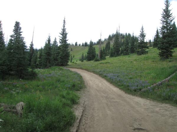
After just over a quarter of a mile traveling through a somewhat open forest you will come to the first obstacle, a small rocky outcrop across the road. From here you will drive through a more open area toward a large ridge. There will be a few small forested areas to cross as you continue to climb toward Rabbit Ears Peak.
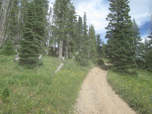 |
Climbing toward the peak photo by: Adam M |
|---|
You will come to a low area next that has another larger rock outcrop across the road with a bit of hill climb to it. This is obstacle two with a third obstacle not far ahead that is similar to the first obstacle. The road will continue to head to the ridge line west of Rabbit Ears Peak going through heavier forested areas. You will make a turn to the east and cross a narrow meadow before making a left turn and heading into the forest. This is obstacle four where the road becomes much steeper as it runs along the edge of the ridge. The road will level out a bit and there will be two small parking spots below a much steeper hill climb with loose dirt. This is obstacle 5 and should be evaluated before climbing. When I was here a motorcycle was struggling to make the climb to the top where another small parking area is. The top of obstacle five is the end of the road. From here there are some hiking trails around the monolith of rock that sits at the top of the peak.
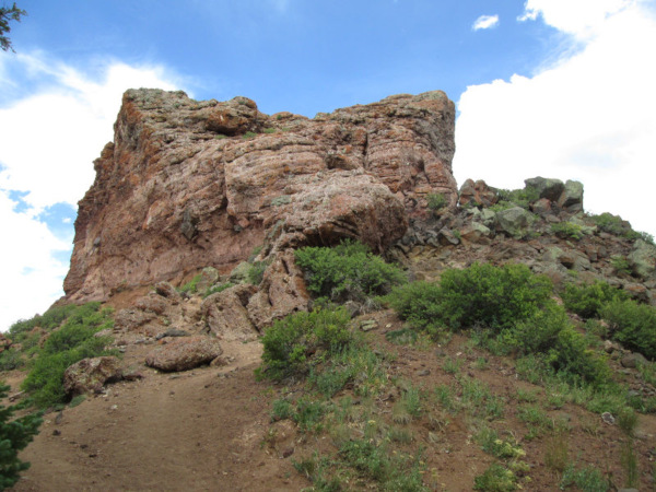 |
Monolith at Rabbit Ears Peak photo by: Adam M |
|---|
"Rabbit Ears Peak is a prominent geological feature located in the Rocky Mountains of northern Colorado. It features two large columns of basalt rock formations from the second volcanic episode, which are underlain by a pink tuff and volcanic breccia."
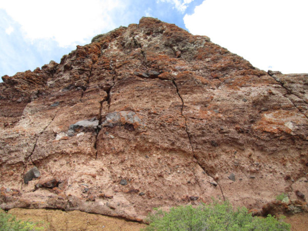 |
North side of the monolith photo by: Adam M |
|---|
From the parking area at the top you will descend back to your starting point.
 |
Heading back down through the narrow meadow photo by: Adam M |
|---|