


| Difficulty: | Number: | Miles: | Altitude: | Obstacles: | Time: |
|---|---|---|---|---|---|
| Moderate 5 | FR888 | 7.28 | 10,270 to 12,020 ft. | NA | 1-2 hours |
Gunnison Ranger District
Gunnison, CO 81230
Closure:
July - Possible opening depending on snow level
August - Best
September - Best
October - Early in the month
Accessed:
From Sargents, CO head east on US Hwy 50 for 1.2 miles. Turn left onto Cnty Road 888 and go 11.9 miles passing through Whitepine. Continue on FS888 past Tomichi following Tomichi Creek.
Helmuth, Ed & Gloria The Passes of Colorado Boulder, Colorado: Pruett Publishing Company, ISBN 0-87108-841-X, 1994. Print.
 |
Mine on North side of Tomichi Pass photo by: Adam M |
|---|
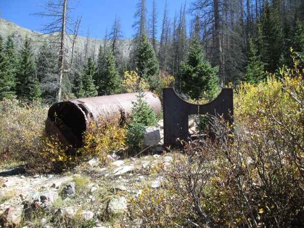 |
Mine boiler remains photo by: Adam M |
|---|
 |
From Brittle Silver Basin (north) up Tomichi Pass road photo by: Adam M |
|---|
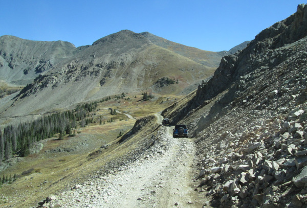
After crossing Middle Quartz Creek the road will climb two switchbacks and cross an old slide area that blocked the road in 2015 and took until 2019 to "fix". The fix to the slide is that you drive up over the rocks and dirt that covered the road. Each year the winters sluff off is cleared so the slide area can be driven over. Be aware that this slide pile is steep and narrow, so you only see your hood as you climb over it. Pay attention here. As you climb higher past timberline the road becomes a single lane. There are two very off camber sections that are just past timberline. Be aware of oncoming traffic as you head up as there are few places to pass.
 |
Tomichi Pass from Brittle Silver Basin (north) side photo by: Adam M |
|---|
 |
Looking down the north side ledge section photo by: Adam M |
|---|
 |
Heading down the Brittle Silver Basin (north) side photo by: Adam M |
|---|
The top of Tomichi Pass is short with very little room for vehicles. You will have a great view of the west side of Hancock Pass and Middle Quartz Creek.
 |
Tomichi Pass photo by: Adam M |
|---|
Continuing over the pass the road follows a valley down to timberline and ties in with the Tomichi Creek drainage.
 |
Tomichi Pass road down to Tomichi Creek (south) photo by: Adam M |
|---|
 |
Heading from the Tomichi Creek (south) side photo by: Adam M |
|---|
 |
Tomichi Creek (south) side just before the top photo by: Adam M |
|---|
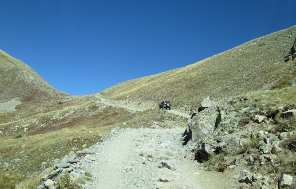 |
Tomichi Creek (south) side heading to the top photo by: Adam M |
|---|
Coming up from the south side of the pass the road has become more rough and rocky over the years. The road is narrow in spots through the trees.
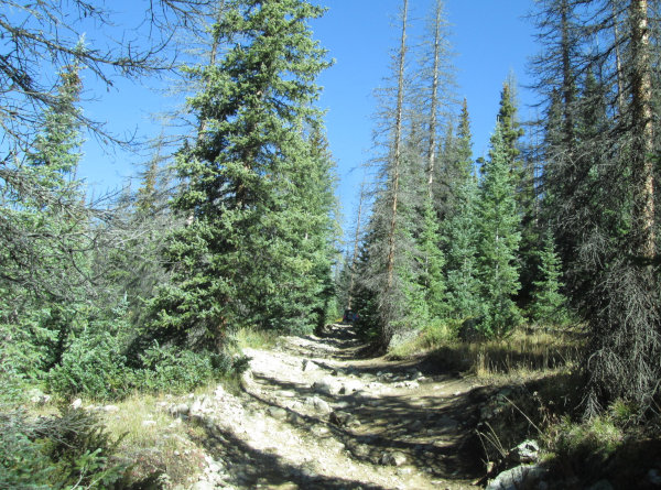 |
Tomichi Creek (south) side rocky section photo by: Adam M |
|---|
You will find a few challenging sections to navigate before reaching timberline.
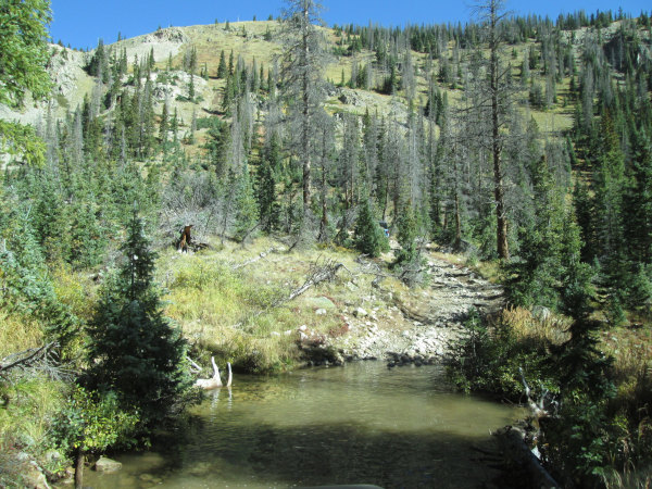 |
Tomichi Creek (south) side water crossing photo by: Adam M |
|---|
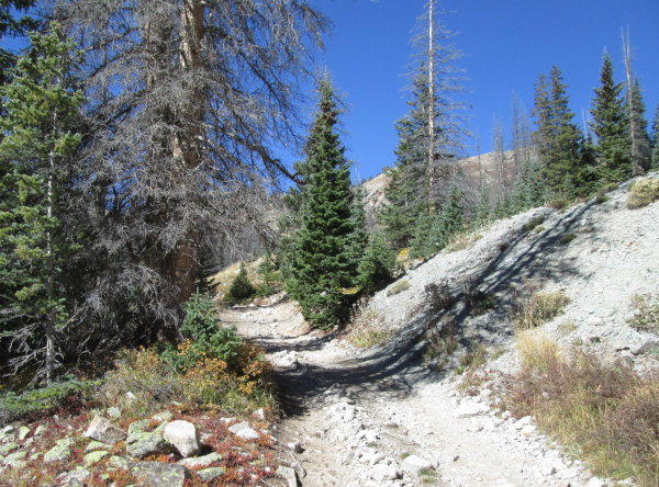 |
Tomichi Creek (south) side photo by: Adam M |
|---|
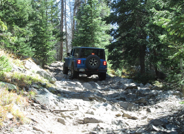 |
Tomichi Creek (south) side rocky section photo by: Adam M |
|---|
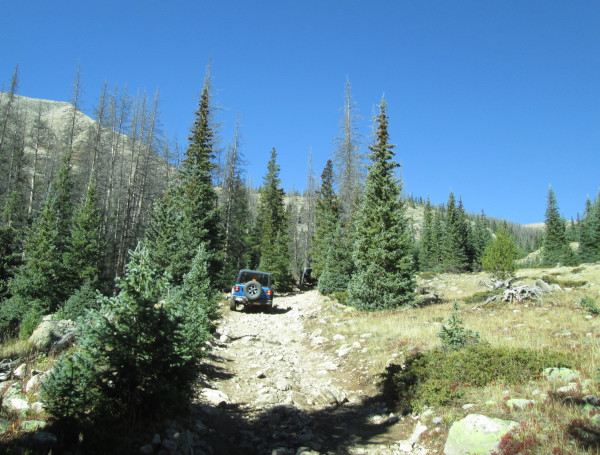 |
Tomichi Creek (south) side close to timberline photo by: Adam M |
|---|
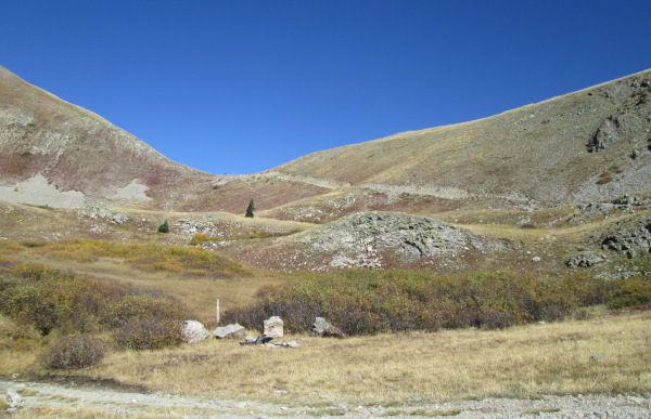 |
Tomichi Creek (south) side view of the pass photo by: Adam M |
|---|
The road above timberline is narrow, but not as off camber as the north side. At the southern end of Tomichi Pass is the old Tomichi Cemetary and the townsite of Tomichi. Today there are newer homes going in along Tomichi Creek above the old town.