

| Difficulty: | Number: | Miles: | Altitude: | Obstacles: | Time: |
|---|---|---|---|---|---|
| Easy 3 | FR414 | 3.28 | 9,875 ft. | NA | 1 hour |
Hahns Peak / Bears Ears Ranger District
Steamboat Springs, CO 80487-9315
Closure:
July - Best
August - Best
September - Best
October - May be snowed in
Accessed:
Starting from the north end off of the Twin Mountain, FR413, road you will be on a wide two track road that will head into a small grove of aspens. You will come out of the forest into an open area and then turn southwest to climb up the north flank of Hahns Peak. As you come into the forest again you will come to an intersection. The road on the right is Hahns Peak, FR418. Stay to the left to continue on Twin Saddle. You will head out into an open area on the northeast flank of Hahns Peak, which will dominate your view on the right side of the road. As you come back into the trees you will come to another intersection. The road to the right is the other side of the Hahns Peak 4WD road. Continue left to stay on Twin Saddle. The road will head throgh the pine forest to a large sweeping curve to the left and then to the right. This is where you cross over the peaks of the saddle between Twin Mountain and Hahns Peak. The road will now drop down through the forest taking three switchbacks to decend into a sweeping curve to the left. One more switchback will bring you down to a wide broad saddle.
This next section I have driven.
Where the trees thin out you will come to a large intersection. The road on the left is the other end of Twin Mountain, FR413, road. Motorized forest trail FT1155 heads down off of the saddle to the right. Staying straight the road will cross the wide saddle heading toward Farwell Mountain.
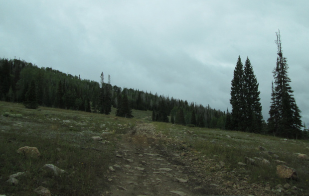 |
Heading toward Farwell Mountain road photo by: Adam M |
|---|
The road will head into the forest again.
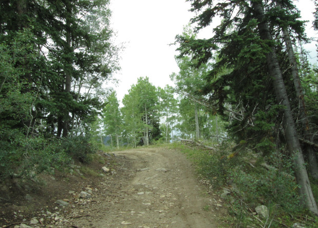 |
Almost to the Farwell Mountain road intersection photo by: Adam M |
|---|
After crossing over a small ridge the road will drop down into another valley and connect with the Farwell Mountain, FR409, road.