| Difficulty: | Number: | Miles: | Altitude: | Obstacles: | Time: |
|---|---|---|---|---|---|
| Easy 3 | FR809 | 4.30 | 10,520 ft. | N/A | 1-2 hours |
South Platte Ranger District
Pike National Forest,
South Park Ranger District
Morrison, CO 80465
P.O. Box 219, 320 Hwy 285
Fairplay, Colorado 80440
(719) 836-2031
Closure:
July - Best
August - Best
September - Best
October - Possible first snows on road.
Accessed:
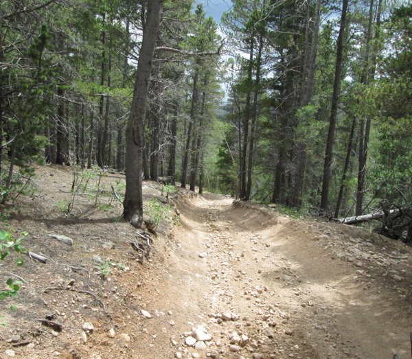
From Fairplay, CO head southeast on Main Street toward 6th Street for 0.5 miles. Turn left onto US Hwy 285 N and go 15.9 miles. Turn left onto Michigan Creek Road and go 2.0 miles. Turn right onto Jefferson Lake Road and go 1.3 miles. Turn right onto the Deadman road, FR427, just before the Jefferson Lake entrance station and go 1.12 miles. After crossing the creek turn right onto the Wahl road.
 |
Crossing creek in Deadman Gulch photo by: Adam Mehlberg |
|---|
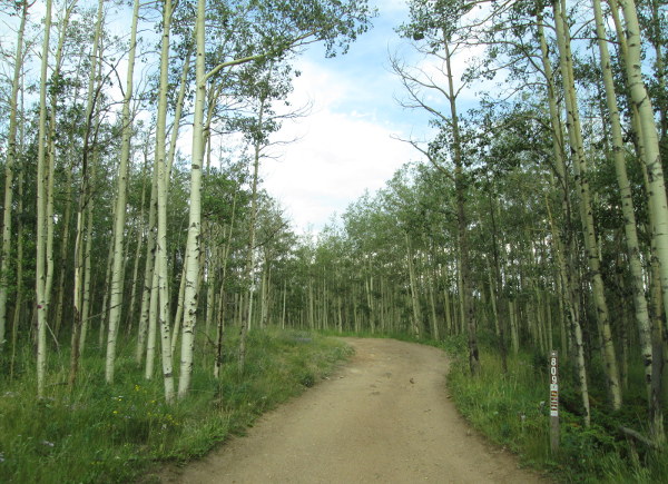 |
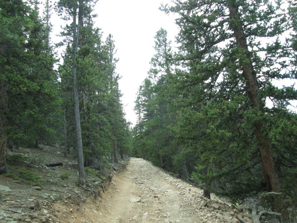
Heading into the aspens photo by: Adam Mehlberg |
|---|
Continue through the aspens and you will pass two more campsites on the right and then come out into a wide open area with a campsite on the left in a small aspen grove. Continue across the open meadow toward a fence line. The road will turn a bit and climb over a small rocky hill, and then drop down into another large open area. You will follow the fence line and them come to a spur road on the left, FR809A, which goes up onto a small ridge accessing three campsites. Stay right and the road will leave the fence line and continue across the open area. The MVUM shows a spur road on the left, FR809B, along here, but it has revegetated.
 |
Looking back toward Jefferson Hill photo by: Adam Mehlberg |
|---|
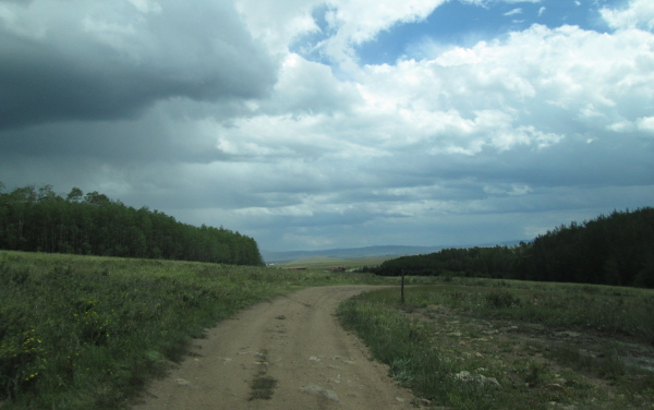
You will head back into the aspens and pass two more camp sites on the left and then make a large curve passing a spur road on the right, FR809C, which goes a short distance and ends at private property.
 |
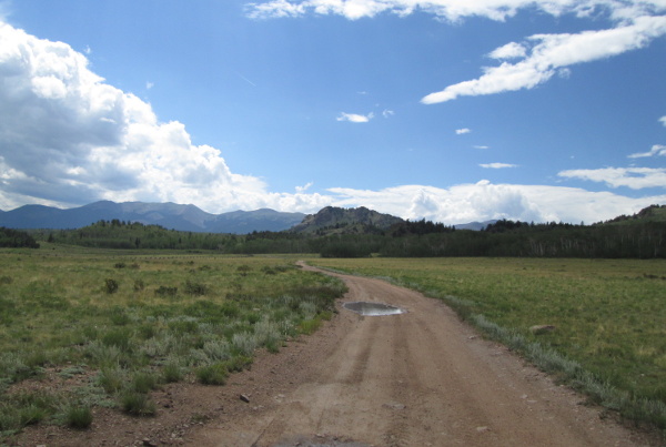
Looking southeast toward bottom of Kenosha Pass photo by: Adam Mehlberg |
|---|
Continue left and the road will head north into the aspens again following the creek in Guernsey Gulch. You will then cross the Colorado Trail as you continue up the gulch.
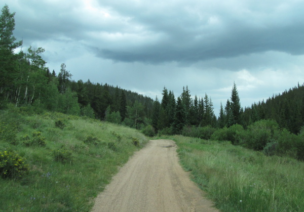 |
Section along Guernsey Gulch photo by: Adam Mehlberg |
|---|
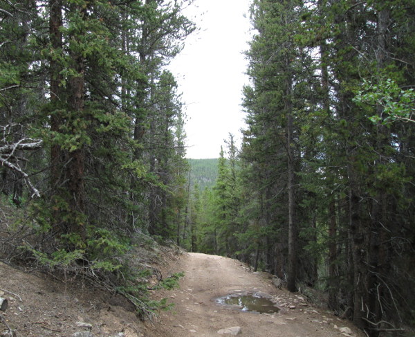
After a while in the aspens you will come out into a long open meadow along Guernsey Creek with a camp site on the left. Continue along the creek and you will come to a large intersection. The road to the left continuing up the gulch, and the road to the right, is Guernsey, FR810. Take the road in the center that heads up a side gulch into the pines. The road will narrow up and be a two track.
 |
Road above Guernsey Gulch photo by: Adam Mehlberg |
|---|
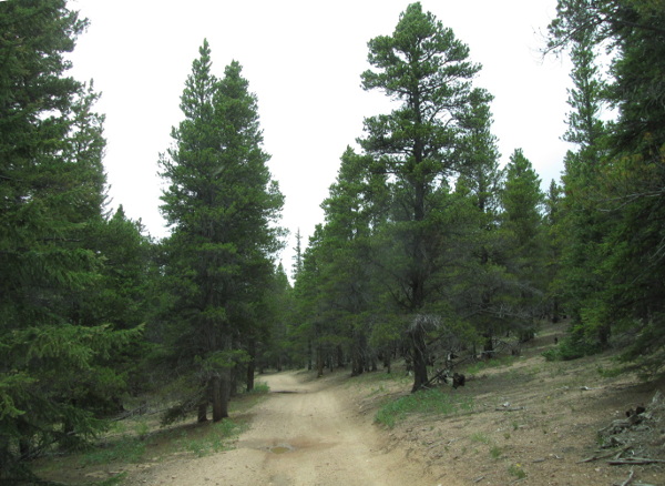
The road will climb up to the top of the ridge and come out into a small open area.
 |
Close to top of ridge photo by: Adam Mehlberg |
|---|
From here the road will head down toward Beaver Creek making a broad curve through the pine forest as it crosses over onto the South Platte Ranger District.
 |
Upper road photo by: Adam Mehlberg |
|---|
You will come to an intersection with T-Pit, FR811A, which ends the Wahl road.
 |
Section on South Platte District photo by: Adam Mehlberg |
|---|