
| Difficulty: | Number: | Miles: | Altitude: | Obstacles: | Time: |
|---|---|---|---|---|---|
| Easy 3 | BLM 29530 | 2.67 | 8,485 ft. | NA | 1-2 hours |
Closure:
June - Best
July - Best
August - Best
September - Best
October - Early snows possible
Accessed:
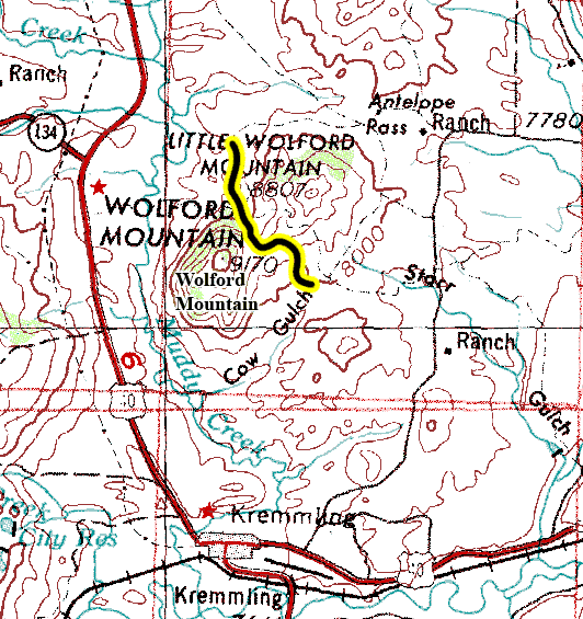
From Kremmling CO. head east on Park Ave toward 6th Street for 1.1 miles. Turn left onto 22nd Street and go 1.0 mile. Turn left onto County Hwy 224 and go 0.6 miles. Turn right to stay on County Hwy 224 and go 3.2 miles. Continue straight for 0.3 miles. Continue straight onto County Hwy 224 for 0.7 miles. Turn left to start the Wolford Mountain 4WD road.
North end start
From Kremmling CO head east on Park Ave toward 6th Street for 1.1 miles. Turn left onto 22nd Street for 1.0 mile. Continue onto County Hwy 22 and go 4.9 miles. Turn left onto County Hwy 25 and go 2.0 miles. Turn left onto County Road 25 and go 0.6 miles. Continue straight for 1.7 miles. Turn left to start the Wolford Mountain 4WD road.
 |
Northwest side of the saddle photo by: Adam M |
|---|
You will pass another spur road on the left that goes into the trees a short distance. Stay right and the road will head into some trees for a short distance. After coming out of the trees you will have a partial view of the reservoir.
 |
Looking down at the reservoir photo by: Adam M |
|---|
Continue down hill and you will pass a road on the right that goes over to Wolford Mountain Reservoir, BLM29531. Stay left going down hill. As the road levels out a bit you will pass a spur road on the left that goes to a campsite. Continue down hill and you will come to a four way intersection. The road to the left and right here is Wolford Mountain Reservoir, BLM29531. Cross this intersection going straight and the road will cross a wide flat plain. After a bit you will drop down into a gully. Just after crossing the gully you will pass a motorcyle trail on the right. The road will continue up onto another wide open area. After crossing this area you will come to an intersection with a road on the right that heads back toward the mountains. This is BLM29530.1, which only goes a short distance to end at a small drainage. Stay left and you will come around a small bluff on your right before intersecting with the Wolford Mountain Reservoir road again. A left here will take you to the reservoir, a right will take you to the Antelope Pass, CR25, road.